Ceylon’s British-Era Roads: Pathways That Built a Nation | When you drive through Sri Lanka’s misty hills or along its winding coastal roads, you’re not merely travelling from one place to another—you’re following the tracks of history. The island’s modern road network owes much to the British, who ruled Ceylon from 1796 to 1948 and transformed the island’s rugged terrain into a connected system of trade, administration, and culture. These roads, carved through dense jungles and steep mountains, remain among the most enduring legacies of colonial engineering.
From Empire to Island Connection
Before the British, Sri Lanka’s transport system was fragmented—paths and cart tracks connected ancient kingdoms but rarely served the whole island. The British saw this as both a challenge and an opportunity. To sustain their colonial economy, they needed roads that could move coffee, tea, and cinnamon from plantations to ports, and troops from forts to frontier stations.
One of the earliest and most iconic projects was the Colombo–Kandy road, completed in the early 19th century under Governor Sir Edward Barnes. Stretching roughly 115 kilometers, it linked the administrative capital to the former royal city of Kandy, cutting through dense forest and mountain passes. Soldiers, engineers, and thousands of local laborers braved malaria, leeches, and rain to complete it. Every turn of this historic road tells a story of endurance and ambition.
By mid-century, the British had established a nationwide network connecting key hubs: Colombo to Galle, Kandy to Nuwara Eliya, and Trincomalee to Dambulla. These were not just trade routes—they were cultural lifelines, uniting the island’s regions into a single economic entity for the first time.
Engineering the Impossible
Building roads in 19th-century Ceylon was an enormous technical challenge. The British used manual labor and basic tools, supported by local workers under systems like rajakariya—a form of compulsory service. Despite this primitive setup, the results were remarkably advanced.
Roads were designed with macadam surfaces, proper drainage systems, culverts, and retaining walls. Bridges such as the Galle Face Bridge and the Mahaweli crossings in Kandy displayed British ingenuity in tropical engineering. Governor Barnes, with his military background, introduced what became known as the Barnes Road System—an organized network modeled after European designs but adapted to monsoon weather and steep terrain.
Even today, many of these roads follow their original alignments. Their structure—graded inclines, milestone markers, and stone embankments—remains visible proof of meticulous planning that has survived two centuries of use.
The Road to Nuwara Eliya: A Colonial Dream
Perhaps no route captures the romanticism of colonial Ceylon better than the road to Nuwara Eliya, the British hill station nicknamed Little England. Beginning from Kandy and winding through Peradeniya, Gampola, and Ramboda, the journey rises steadily to the cool highlands.
This road was more than infrastructure—it was a retreat for British governors, planters, and civil servants escaping the tropical heat. Along the way stood rest houses like Ginigathhena and Ramboda, where travelers paused for tea, meals, and breathtaking views. Today, the same road still offers glimpses of colonial bridges, mileposts, and misty valleys once traversed by bullock carts and horse-drawn carriages.
Click on here “KANDY TO KATARAGAMA: EXPLORING SRI LANKA’S SACRED PILGRIMAGE TRAILS”
Roads That Built Plantations and Towns
The plantation economy that defined 19th-century Ceylon was inseparable from its roads. Coffee—and later tea—depended on these routes to reach Colombo’s port for export. As roads spread deeper into the central highlands, they gave rise to new settlements and trading towns such as Hatton, Nuwara Eliya, Badulla, and Haputale.
The A5 road from Kandy to Badulla became a crucial lifeline for the tea industry and remains one of the most scenic drives in Asia. Winding through rolling estates, waterfalls, and stone bridges, it reflects the colonial precision that once turned wilderness into wealth.
Exploring the British Road Legacy Today
For modern travellers, following these colonial routes offers a journey through time. Each road reveals the ambition and skill that shaped modern Sri Lanka’s transport network:
- Colombo–Kandy Road (A1): The first major highway, featuring 19th-century milestones, stone bridges near Belummahara, and the famed Kadugannawa Pass.
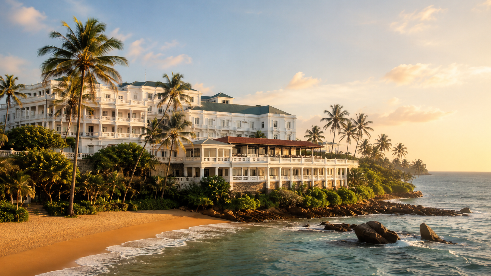
- Galle Road (A2): Once the lifeline of the southern coast, linking Colombo to Galle Fort, Bentota, and Matara.
- Nuwara Eliya–Badulla Road (A5): Known for its dramatic climbs and tea-covered hillsides, still dotted with British-built culverts and rest houses.
- Kandy–Trincomalee Road (A6): A vital inland route for trade and military transport, crossing the island’s heart and echoing its colonial past.
Legacy Beyond Asphalt
Although these roads were originally designed to serve an empire, their legacy outlived colonial rule. They became the pathways of a new nation—carrying education, commerce, and unity into post-independence Sri Lanka.
Even as expressways and modern highways dominate today’s transport landscape, many British-era routes still define Sri Lanka’s geography. The old alignments remain unchanged, running parallel to new roads, a reminder that progress often builds upon the foundations of history.
For those who look beyond scenery, travelling Ceylon’s colonial roads is a journey into continuity—where the hum of modern engines follows the rhythm of footsteps from centuries past.
Click on here “SRI LANKA’S HILL COUNTRY IN 2025: TEA TRAILS, WATERFALLS, AND BOUTIQUE ESCAPES”