The 1948 Motor Map of Ceylon: When a New Nation Took to the Road
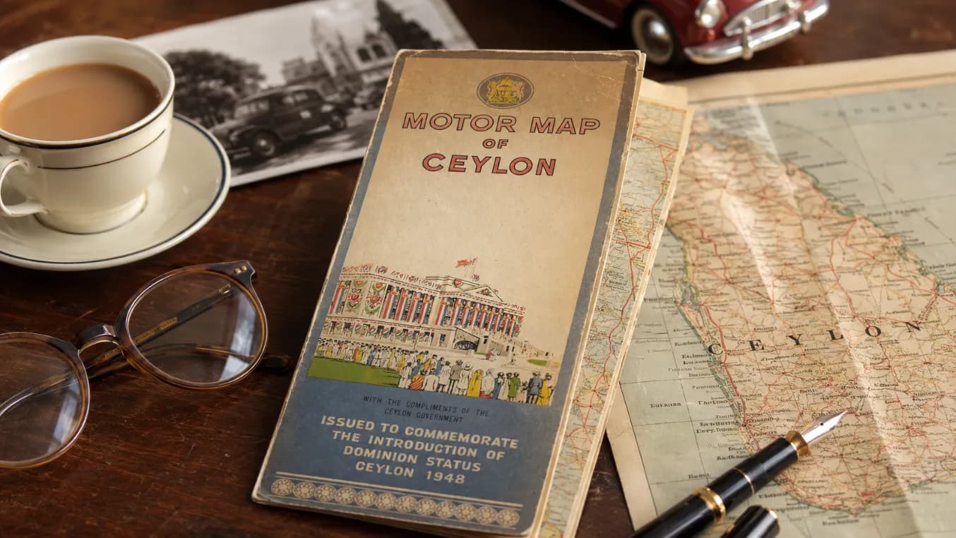
There are some objects that carry more history than their size suggests. This old “Motor Map of Ceylon”, issued in 1948 to commemorate the introduction of Dominion Status, is one of them. At first glance, it appears to be a simple motoring map. But look closer and it becomes something more meaningful — a small printed reminder of a country standing at the edge of a new era.
The cover itself tells a story. The words “Motor Map of Ceylon” appear boldly across the front, while the lower section carries the message: “Issued to commemorate the introduction of Dominion Status, Ceylon 1948.” It was presented “with the compliments of the Ceylon Government,” making it not merely a commercial travel item, but an official keepsake from a defining national moment.
A Map From the Year Ceylon Changed Forever
In 1948, Ceylon entered a new chapter. After centuries of European colonial influence — Portuguese, Dutch and then British — the island became a self-governing Dominion within the British Commonwealth. It was not yet the Republic of Sri Lanka, which would come later in 1972, but 1948 marked the beginning of modern national self-rule.
This map belongs to that moment. It was not just about roads, towns and distances. It represented movement, access and the idea of a country now looking at itself through new eyes. For a newly independent Ceylon, the road network was more than infrastructure. It connected the colonial capital, plantation districts, ancient cities, ports, villages, coastal towns and hill country settlements into one imagined national landscape.
In that sense, a motor map was almost symbolic. It invited people to travel through the island, to know it, to connect with it, and perhaps to see Ceylon not only as a former colony, but as a country with its own geography, identity and future.
Motoring in Old Ceylon
By the late 1940s, motoring was still not an everyday experience for most Ceylonese people. Cars were associated with officials, professionals, plantation owners, wealthy families and government departments. Roads existed, but long-distance travel still carried a sense of planning and adventure.
A journey from Colombo to Kandy, Galle, Nuwara Eliya, Anuradhapura or Trincomalee was not something done casually with a navigation app and a quick fuel stop. Drivers needed printed maps, reliable directions, patience and a working knowledge of towns, rest houses and road conditions.
This is what makes the Motor Map of Ceylon so fascinating. It belongs to a time when travel was slower, more deliberate and often more memorable. The driver did not simply follow a blue line on a screen. He studied the map, planned the route, checked distances and understood the journey as part of the experience.
The map would have been opened carefully, folded and refolded, perhaps spread across a bonnet or held by a passenger navigating from the front seat. It would have guided motorists through a Ceylon of winding hill roads, coastal highways, railway towns, tea estates, ancient tanks and colonial-era rest houses.
The Cover Art: Celebration and Identity
The illustration on the cover is especially striking. It shows a decorated public building, flags, crowds and a festive atmosphere. The people gathered in front of it are shown in different styles of dress, suggesting a public celebration rather than an ordinary street scene.
This was deliberate visual storytelling. The cover does not show only a road or a motor car. Instead, it links the map to the national celebration of Dominion Status. The building, the flags and the crowd create a sense of ceremony. The message is clear: this map is part of a commemorative moment.
The artwork also reflects the visual style of mid-20th-century government publications. The colours are simple but lively, the figures are stylised, and the design has a formal yet optimistic quality. It is not a luxury tourist brochure. It is more sincere than that — a practical object dressed with national pride.
Roads as a National Story
A road map can reveal how a country understood itself. In colonial Ceylon, roads were often developed for administrative and commercial reasons. They connected ports to plantations, towns to government centres, and production zones to export routes. Tea, rubber, coconut and cinnamon shaped much of the island’s modern transport network.
But by 1948, those same roads could be reimagined differently. They were no longer only colonial arteries of extraction and control. They became national routes — paths through a country beginning to define itself after empire.
A motor map from that year therefore sits at a powerful intersection. It carries the legacy of colonial infrastructure, but it also points toward a post-colonial future. It shows an island that could now be explored, governed and imagined by its own people.
For travellers today, this gives the object added charm. It reminds us that every familiar road once felt new to someone. The Colombo-Kandy road, the southern coastal route, the road to the hill country, the journey to ancient capitals — all of these carried a sense of discovery before modern highways and digital navigation changed the rhythm of travel.
Ceylon Before the Age of Fast Travel
Today, Sri Lanka is often experienced through quick itineraries: airport to Colombo, expressway to the south, train to Ella, safari in Yala, beach in Mirissa, tea in Nuwara Eliya. Travel is faster, more photographed and more instantly shared.
But this map belongs to a quieter age of travel. It comes from a Ceylon where journeys took longer and destinations felt more distant. The hill country was reached through winding roads and cool mist. The ancient cities required planning and time. Coastal towns had their own pace, shaped by railway lines, fishing harbours and colonial-era roads.
That slower travel culture is part of the nostalgia attached to old maps. They remind us of a time when the island was not consumed in fragments on a phone screen. It was unfolded, studied and understood as a whole.
A Collector’s Piece With Historical Value
As an object, this Motor Map of Ceylon is valuable not only to map collectors, but also to anyone interested in Sri Lankan history, colonial-era design, transport heritage or independence memorabilia. Its value lies in the combination of themes it carries: motoring, government publication, national transition and visual culture.
The date, 1948, gives it special importance. Many old maps are useful because they show geography. This one does more. It captures a constitutional moment. It marks the beginning of Dominion Ceylon and preserves the mood of official celebration surrounding that change.
The wear on the cover also adds character. The faded edges, aged paper and old folding style remind us that this was a real object used or preserved by someone across decades. It has survived long enough to become a small historical witness.
Why Objects Like This Matter
History is often told through grand events — speeches, laws, ceremonies and political leaders. But sometimes the most human connection to the past comes through everyday objects. A map, a ticket, a photograph, a postcard or a government booklet can make history feel close.
This Motor Map of Ceylon does exactly that. It takes the huge idea of independence and brings it down to something practical and personal: the act of travelling across the island.
It says that a new country was not only formed in parliament or celebrated in official ceremonies. It was also experienced on the road — by people moving between towns, visiting family, conducting business, exploring landscapes and discovering the island in a changing political age.
A Folded Memory of Old Ceylon
The 1948 Motor Map of Ceylon is more than a printed guide. It is a folded memory of a country in transition. It belongs to the moment when Ceylon stepped into Dominion Status, still carrying the marks of empire but beginning to shape its own national journey.
For modern Sri Lankans and visitors alike, it offers a beautiful reminder: travel is never only about distance. It is about time, identity and the stories carried along the way.
This old map once helped motorists find their route across Ceylon. Today, it helps us find our way back into the atmosphere of 1948 — a year of ceremony, uncertainty, pride and possibility.
More from Old Ceylon
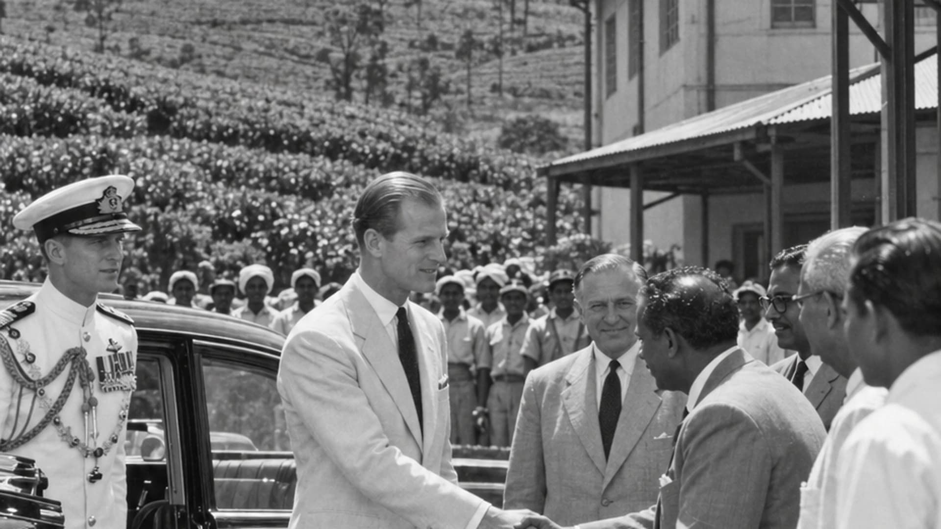
When Prince Philip Visited Pedro Estate: The Royal Visit That Became Part of Ceylon Tea History in 1954
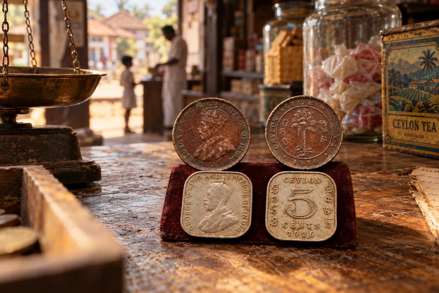
When Five Cents Mattered: The Forgotten Small Change of Old Ceylon