A Landscape Where History Lives Quietly
Maberiyatenna Estate| There are places in Sri Lanka where history survives in buildings, monuments and carefully preserved records.
Then there are places like Maberiyatenna, where history is written more quietly into the land.
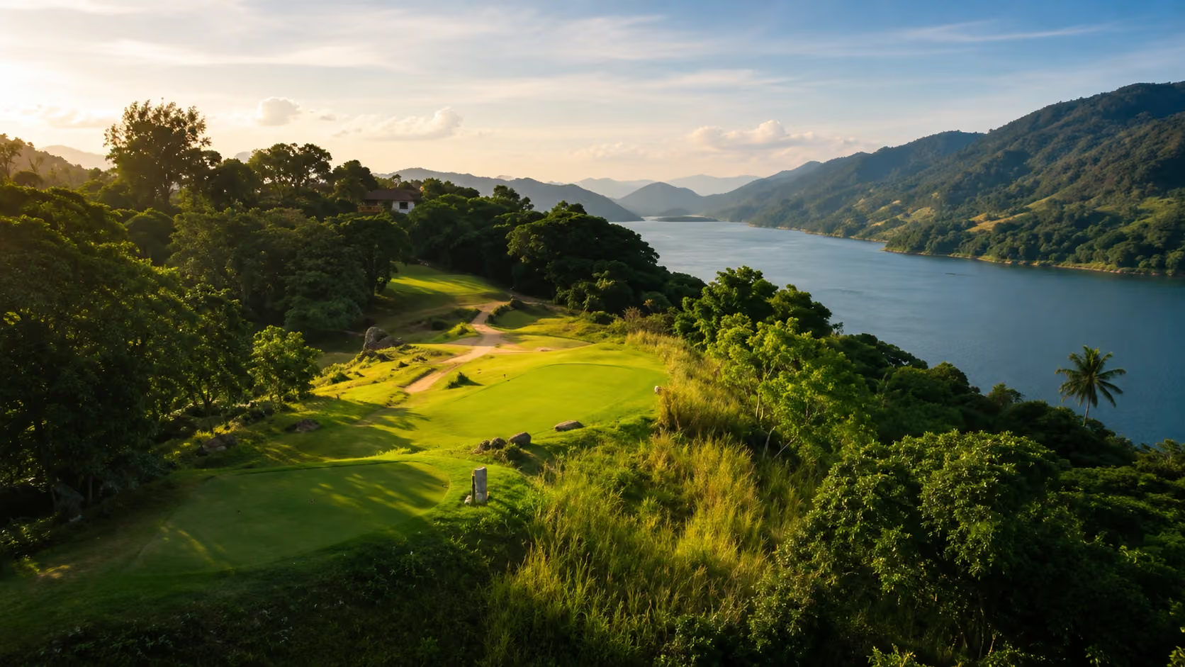
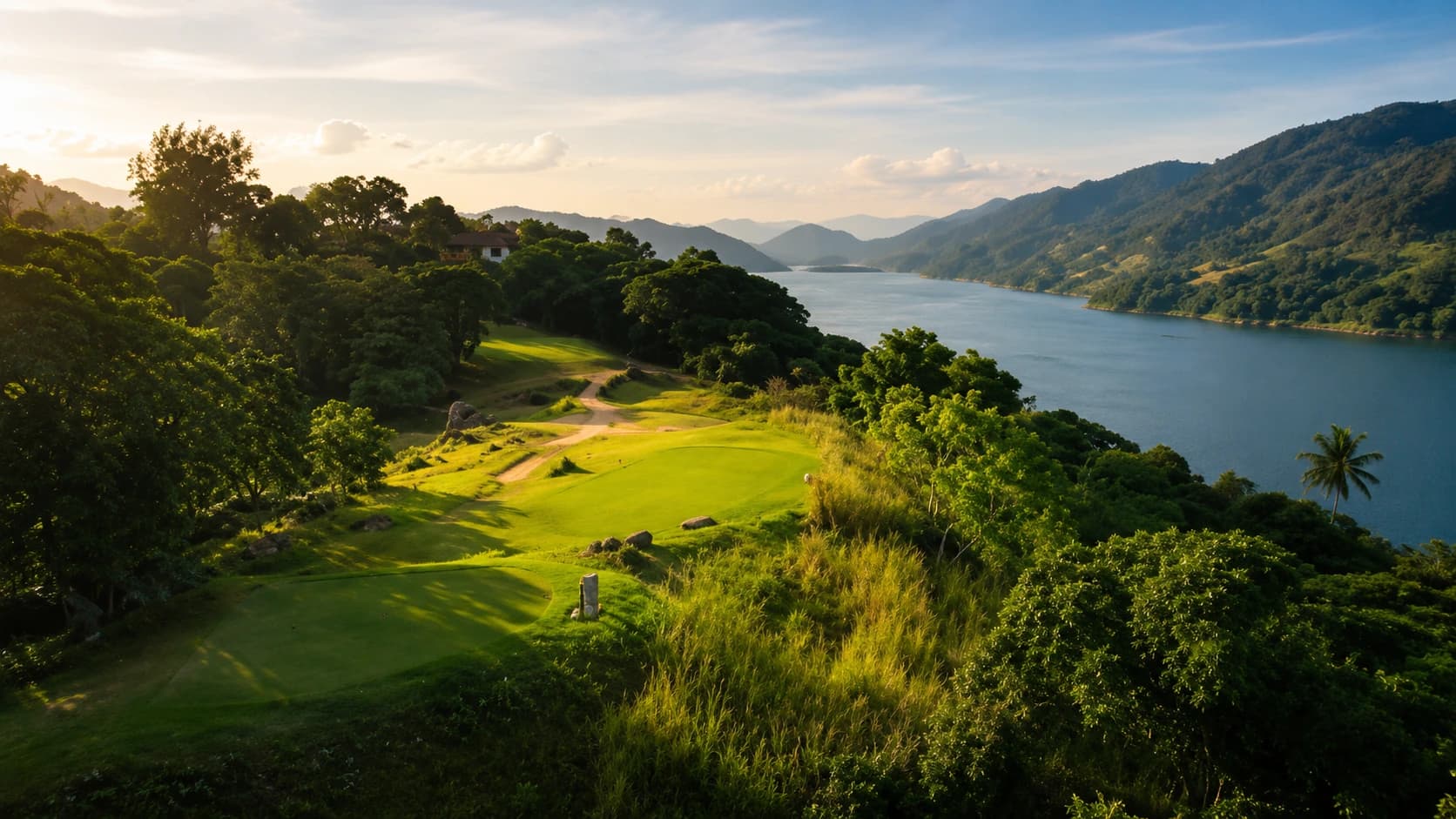
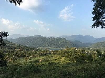
The name still carries the echo of an estate, but the landscape around it no longer resembles the working plantation world that may once have defined it. Today, Maberiyatenna, near Digana and Rajawella in the Kandy District, is associated with peaceful residences, cultivated gardens, farm produce, holiday villas and the sweeping fairways of the Victoria Golf Resort.
Beyond them lies the Victoria Reservoir, its blue water changing the appearance of a valley that older generations would have remembered very differently.
Maberiyatenna is therefore not simply another story about a Ceylon plantation. It represents what happened after the traditional estate era began to fade — when agricultural land was divided, repurposed and given an entirely new identity.
Check our previous article- https://trippingsrilanka.com/stories/old-ceylon-plantations
An Estate Name That Outlived the Estate
Across Sri Lanka, old estate names have survived long after the original properties changed.
A plantation might be divided between different owners, absorbed into a larger state-managed property, converted into housing or given over to an entirely different industry. Yet the estate name often remained in addresses, road signs and the memories of nearby communities.
Maberiyatenna is one such name.
It is sometimes spelt Maberiyathenna, reflecting the variations that commonly occurred when Sinhala place names were written in English. Today, the name identifies a broader locality rather than one clearly defined plantation property.
This can make its history difficult to reconstruct.
Estate boundaries that may once have appeared clearly on survey plans are no longer obvious on the ground. Roads have changed, new buildings have appeared and the Victoria Reservoir has transformed the geography of the surrounding countryside.
Nevertheless, the survival of the name tells us that an earlier estate identity once mattered here.
Before the Reservoir Changed the View
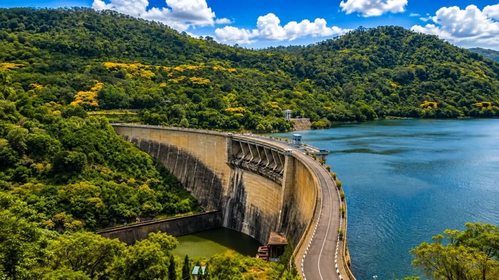
It is now almost impossible to imagine the Digana and Rajawella landscape without the Victoria Reservoir.
Its water appears between the hills, reflecting clouds, forests and distant mountains. From elevated ground, the reservoir gives the entire area a feeling of openness and calm.
But this is a relatively modern view.
Before the reservoir existed, the Mahaweli River moved through a lived-in valley of villages, roads and cultivated land. Families travelled between communities that were later separated or displaced by water. Older Teldeniya occupied a different location from the town known today.
Construction of the Victoria Dam began in 1978 as part of the Accelerated Mahaweli Development Programme. When the project was completed in 1985, the rising water created a new reservoir across the valley.
The project brought irrigation and hydroelectric power, but it also altered the relationship between people and the land.
Familiar routes disappeared. Settlements were relocated. Hillsides that had once looked across fields and river valleys now faced an immense body of water.
Maberiyatenna found itself overlooking a completely new landscape.
When Agricultural Land Acquired a Different Value
During the plantation period, an estate’s value was largely measured by what it could produce.
The land was assessed according to elevation, rainfall, soil, access to water, transport and the commercial potential of its crops. Roads were practical routes connecting fields, stores and processing areas. Buildings existed because they served the agricultural operation.
The arrival of the reservoir changed how land around Rajawella and Digana could be imagined.
A hillside was no longer valued only for its crops. It could also be valued for its view, climate, tranquillity and recreational possibilities. Land overlooking the water acquired a scenic quality that had not existed before the dam.
This transition occurred gradually. Agriculture did not vanish overnight, nor did every former estate become a resort. Instead, the landscape developed several overlapping identities.
Some areas remained cultivated. Others became residential. Portions were used for hospitality, recreation and tourism. Small farms, restaurants and shops brought agriculture into a more public and community-oriented setting.
The former plantation country was no longer organised around one crop or one estate enterprise.
It was becoming a mixed landscape.
The Arrival of the Victoria Golf Course
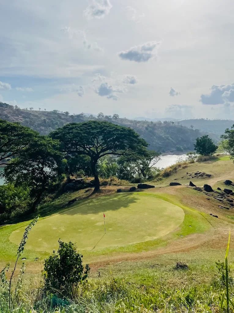
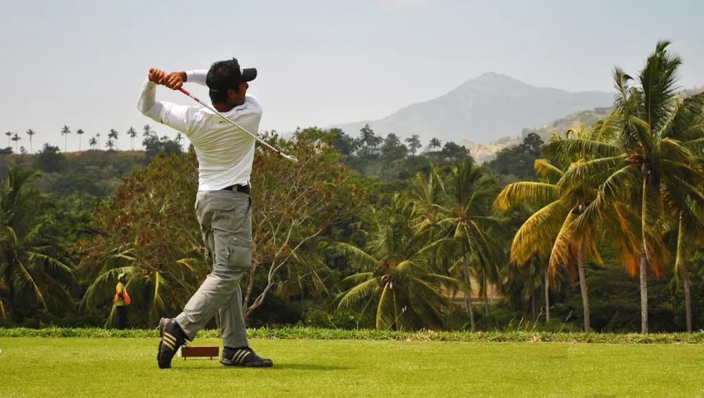
The most visible example of this change is the Victoria Golf Resort.
The course was designed by celebrated golf architect Donald Steel and his associate Martin Ebert. Construction took place during the 1990s, and the course opened in 1999.
Extending across approximately 500 acres, the resort occupies an undulating landscape near Maberiyatenna and Rajawella. Its fairways follow the natural shape of the land, with views across the Victoria Reservoir and towards the Knuckles Mountain Range.
The transformation is striking.
Ground that was once valued as agricultural acreage became part of a carefully designed recreational landscape. Roads that may have served estate work were replaced or incorporated into routes connecting fairways, accommodation and residential properties.
Instead of being organised around harvesting and transportation, the land was redesigned around scenery, leisure and movement through open space.
Yet the old estate character has not been entirely erased.
The mature trees, changing elevations, distant hills and sense of isolation still recall a rural landscape shaped long before the resort appeared. The property’s beauty comes partly from this inherited geography.
Modern design did not create the hills.
It found a new purpose for them.
From a Working Estate to a Place of Retreat
The old estate and the modern resort represent two very different relationships with the countryside.
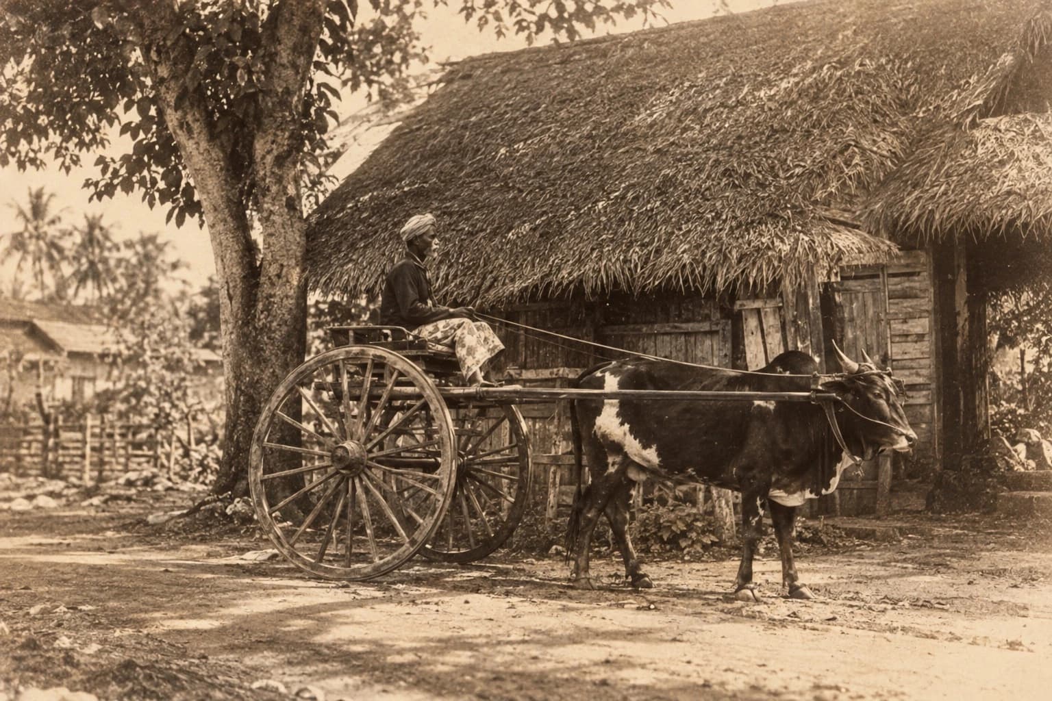
A plantation was a place of production. Its daily life depended on weather, field conditions, labour, harvesting and transport. The landscape was constantly measured according to work and output.
A modern retreat invites people to experience the same land more slowly.
Visitors arrive to rest, play golf, walk, cycle or simply look across the water. Villas are positioned to capture mountain views. Roads curve through quiet greenery. The silence that once reflected the isolation of plantation country has become one of the area’s attractions.
This is part of a wider change seen across Sri Lanka.
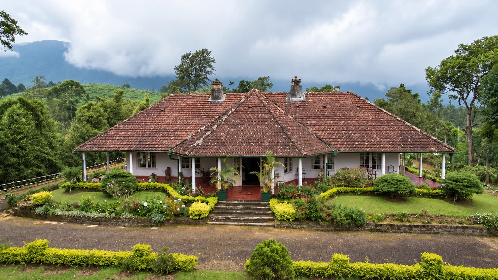
Former estate bungalows have become hotels. Old agricultural properties now accommodate wellness retreats, restaurants and residential developments. Plantation paths have become walking trails, while views once familiar only to workers and estate managers are promoted to travellers.
Maberiyatenna belongs to this new chapter of rural Sri Lanka — one in which landscape itself has become an experience.
Agriculture Has Not Entirely Disappeared
The story of Maberiyatenna is not simply a movement from agriculture to tourism.
Cultivation continues in different forms around the locality. The Maberiyatenna Farm Shop and Restaurant represents a smaller, more direct relationship between farming and the public.
Instead of produce being sent away through an estate export system, farm products can be sold locally and incorporated into an everyday visitor experience. Food, coffee and fresh produce create a connection between agriculture, community life and recreation.
This is a very different model from the old plantation.
It is smaller in scale, more accessible and tied to local consumption rather than exclusively to distant markets. The farm becomes not only a place of production but also a social space where people can stop, eat and purchase what has been grown.
In this way, agriculture survives without dominating the entire landscape.
What Might Still Remain of the Old Estate?
Finding traces of a vanished estate requires patience.
There may be no grand ruin or clearly marked heritage site. The most revealing evidence might be an unusually old road, a row of mature trees or a building that no longer serves its original purpose.
Drains and retaining walls can show where earlier routes once ran. Old trees may indicate the former approach to a bungalow. Changes in ground level can reveal sites where buildings stood or where land was once terraced.
Place names can be equally important.
A junction, hill, field or group of houses may retain a name inherited from the plantation period. Local families may remember where an old store, superintendent’s bungalow or estate office once stood, even when little remains physically visible.
Maberiyatenna’s history may therefore survive less in formal archives than in local knowledge.
This is why memories should be recorded before they disappear.
The Importance of Not Inventing the Past
Old estate landscapes easily attract romantic stories.
A ruined foundation becomes a planter’s bungalow. An old road is assumed to have carried coffee. Any hillside in Kandy is described as former tea country.
But not every attractive story is historically reliable.
The publicly available evidence about Maberiyatenna does not yet provide a complete account of its original ownership, boundaries, buildings or changing crops. Sources connected with the Victoria Golf property describe the land as a former coconut and coffee plantation, but this alone cannot explain every part of the wider locality’s history.
Until estate maps, company records, deeds or reliable personal accounts are found, its story should be told carefully.
Uncertainty does not make Maberiyatenna less interesting.
Instead, it reminds us how easily the histories of ordinary agricultural places can disappear when the land acquires a new use.
Looking Across a Landscape of Many Eras
To stand in Maberiyatenna today is to look across several eras at once.
The place name recalls an estate past.
The reservoir represents Sri Lanka’s ambitious development projects of the late twentieth century.
The golf course, villas and retreats reflect a newer economy built around recreation, property and experience.
The farm shop and continuing cultivation show that agriculture has adapted rather than completely disappeared.
Very few monuments announce these changes. They are visible in the way the landscape is now used.
Where workers may once have followed agricultural routines, visitors now travel for leisure. Where hills once overlooked a river valley, they now face a reservoir. Where land was measured through harvests, it may now be valued for its silence and view.
Maberiyatenna is a landscape where plantation memory, development, leisure and agriculture now exist side by side.
Remembering What Came Before
Maberiyatenna does not offer the kind of Old Ceylon story found in a preserved bungalow or a working Victorian-era tea factory.
Its story is about transformation.
It asks us to think about what happens when an estate ceases to function as one complete agricultural world. The land remains, but its meaning changes. New buildings appear, new roads are opened and new generations know the place for entirely different reasons.
Yet the old name survives.
It quietly connects the modern landscape to a time before the reservoir, golf course and villas.
The next time the evening light falls across Victoria’s water and the hills of Maberiyatenna grow dark against the sky, it is worth remembering that this view has not always existed.
Beneath the beauty of the present lies an older countryside — one of agricultural land, estate roads and communities shaped by a landscape that has since been remade.
Maberiyatenna’s plantation past may no longer be easy to see.
But it remains there, beneath the fairways, beside the reservoir and within the name of the place itself.
Visit Us: https://trippingsrilanka.com/stories
Heritage places mentioned