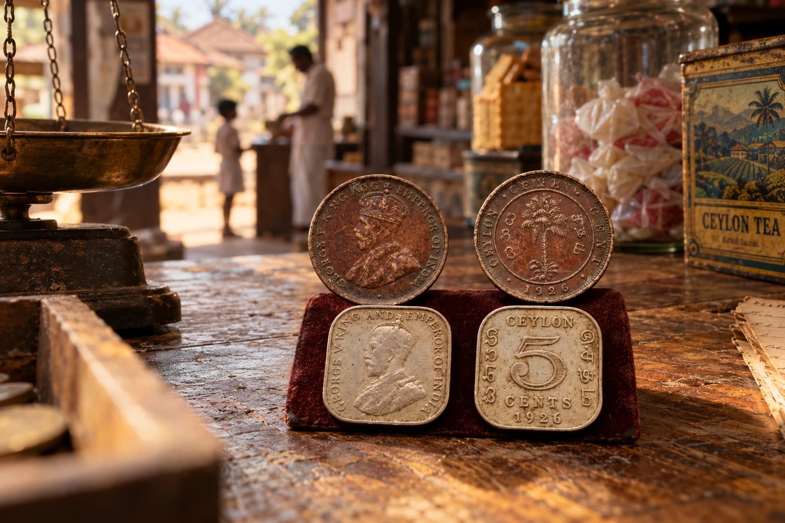
The Toll Gate at the Bridge: When Travelling Across Ceylon Cost a Few Cents at a Time
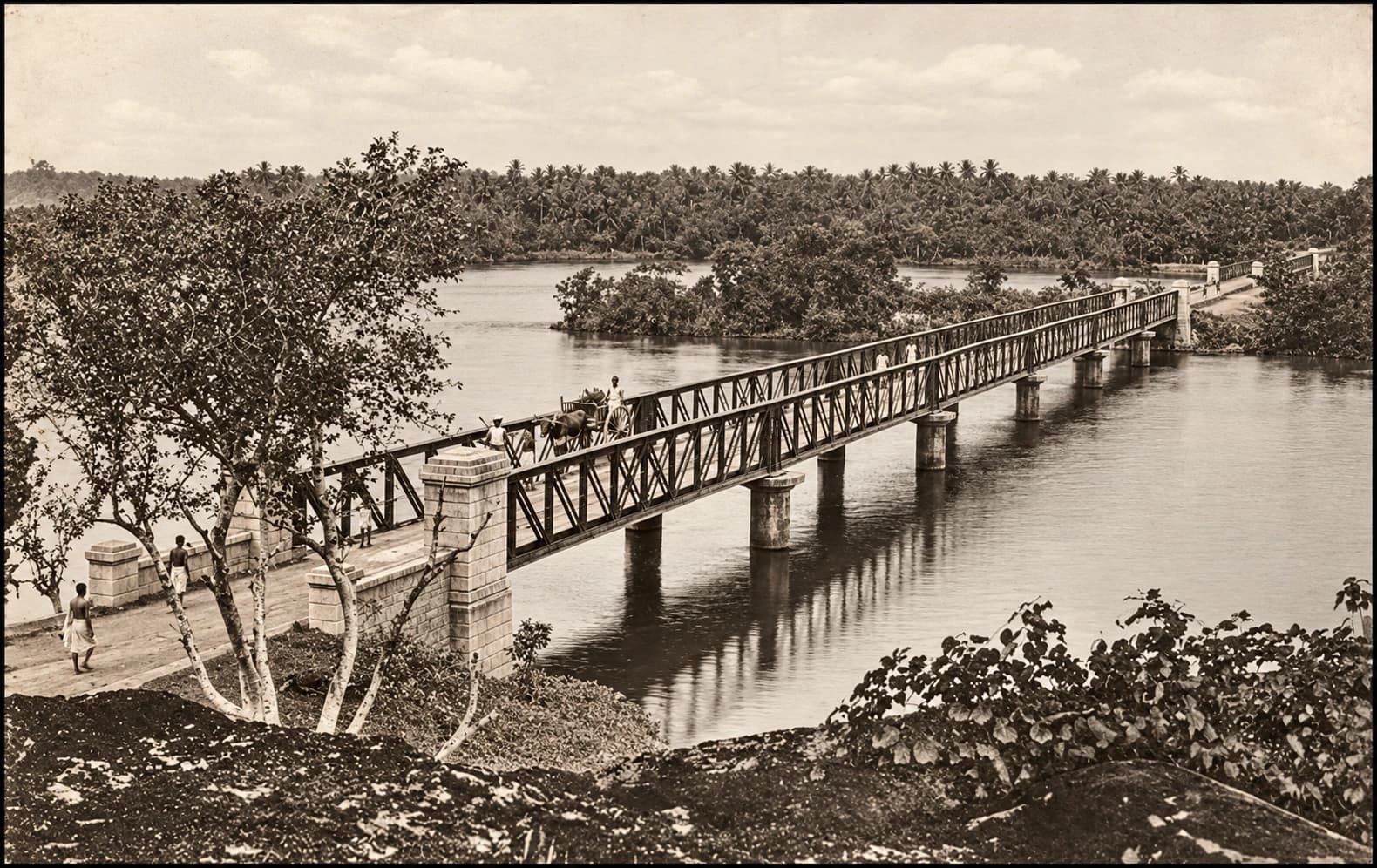
When the Road Had a Price
The Toll Gate at the Bridge | There was a time when travelling across Ceylon did not only mean distance, dust and waiting for the next ferry or bridge. It also meant stopping at a toll gate. A journey along the coast, across a river mouth, through a town or towards the north could be interrupted by a small official moment: a toll-keeper, a table of charges, a ticket, and a few cents paid before the traveller could continue.
Today, tolls make us think of expressways, booths and printed receipts. But old Ceylon had its own version long before modern highways. The tolls were attached to bridges, ferries, canals and certain road points. Some were small enough to seem almost comic now, but they mattered in daily travel. A cart, a loaded animal, a horse, a carriage, a foot passenger at a ferry, or a vehicle crossing a bridge could all become part of this little economy of movement.
The old government records actually list these places. In the 1895 Ceylon Government Gazette, bridge tolls are recorded at places including Bentota, Walawe and Gintota in the Southern Province, while the Northern Province lists tolls connected with Uppar Bridge at Navatkuli, Vallai Bridge, and a branch toll at Tondamannar Bridge.
A Country Measured by Rivers
To understand these toll gates, we have to remember how many journeys in Ceylon were shaped by water. Rivers, lagoons, canals, ferries and causeways cut across the road system. A bridge was not just a piece of infrastructure. It was the point where a road became possible.
That is why bridges such as Bentota, Gintota and Walawe mattered. They stood where road travel had to negotiate with rivers. The traveller might not think much about the bridge once he crossed it, but the government did. A bridge required construction, maintenance and control. A toll helped turn that crossing into revenue.
For the ordinary traveller, however, the bridge toll was probably remembered less as policy and more as a pause. The cart slowed. The animal waited. The driver reached for coins. The toll-keeper watched the load, counted the animals or noted the type of vehicle. Only then did the journey continue.
Bentota: A Toll at the River
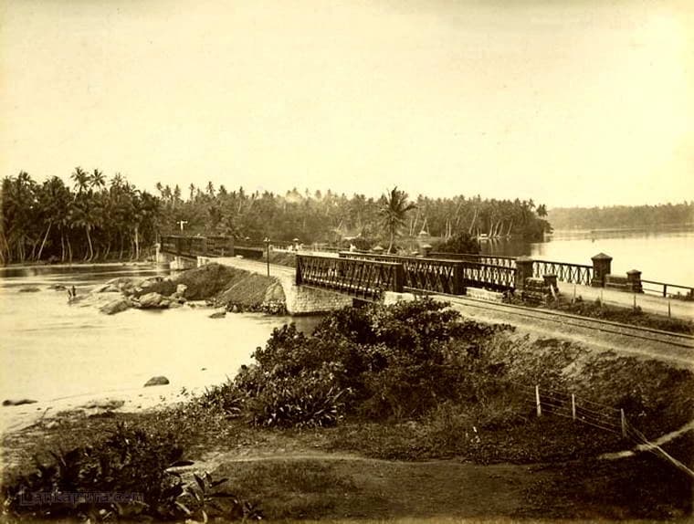
Bentota is remembered today as a coastal holiday place, but in old road history it was also a crossing. The Bentota River marked an important point on the south-western route. To pass through this landscape by road was to meet water, bridge, river mouth and toll.
The old Gazette listing places “At the bridge at Bentota” among Southern Province bridge tolls. That simple phrase opens up a different Bentota from the beach image we know now. It was a place where carts, passengers, traders and road users crossed under a system that made the bridge part of government revenue.
One can imagine the scene before modern traffic changed everything. Bullock carts moving slowly along the road. Travellers heading south. Goods being taken towards Galle or Colombo. People crossing a river that had once required more complicated movement before the bridge made the journey easier. The toll gate stood at that point of convenience, quietly collecting its few cents from the traffic of the day.
Gintota: The Bridge Before Galle
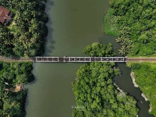
Gintota, near Galle, was another significant crossing. Anyone travelling along the coastal road towards Galle had to deal with the waterways that shaped that part of the island. The bridge at Gintota became one of those practical points where geography, road travel and administration met.
The 1895 record lists the toll “at the bridge at Gintota on the southern side.” That detail is useful because it places the toll not vaguely in the town, but specifically at the bridge approach. It tells us where the act of payment likely happened: not in a distant office, but at the edge of movement itself, where the traveller was about to cross.
In old Ceylon, such places were not always dramatic. They were functional. A bridge toll did not need grand architecture. A small shelter, a toll-keeper, a notice board and the authority of the law were enough. Yet for those who travelled often, these points must have become familiar markers on the road. You knew where the road narrowed, where the river came, and where the money had to be paid.
Read our previous article: https://trippingsrilanka.com/stories/galle-fort-sri-lanka
Walawe: The Toll on the Southern Road
Walawe belongs to a different southern landscape. The Walawe River was one of the major natural crossings on the way towards the deep south. Long before fast road travel, such a river shaped the pace and difficulty of movement.
The old record lists a toll “at the bridge at Walawe.” Again, the wording is plain, almost dry. But behind it is an entire travelling world: carts carrying produce, officials on duty, local people moving between settlements, and animals being led or driven across roads that depended on bridges and ferries.
The toll made the bridge more than a structure. It made it a controlled point. The traveller did not simply pass. He entered a small transaction with the state. The road may have felt open, but at the river the government reminded him that movement had rules.
Jaffna and the Northern Toll Bridges
The northern records are especially interesting because they show a network of crossings around Jaffna rather than a single isolated toll. The 1895 Gazette refers to Uppar Bridge at Navatkuli, with branch tolls at Kopay causeway at Kaithadi and Vannattipalam at Madduvil North. It also lists Vallai Bridge on the Jaffna–Point Pedro road, with a branch toll at Tondamannar Bridge.
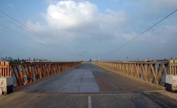
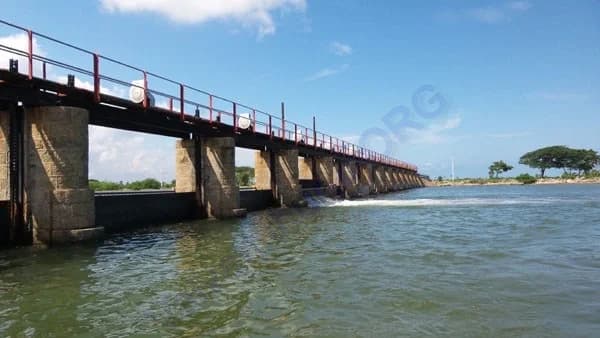
This gives us a glimpse of northern road life shaped by lagoons, causeways and bridges. Jaffna’s landscape was not only a matter of roads running across dry ground. Movement had to cross water, marshy stretches and causeways. A toll at one bridge could be connected with branch tolls elsewhere, showing how the administration thought of these crossings as part of a wider travelling system.
For the traveller, these tolls may have been minor payments. But repeated across a journey, they mattered. A cart driver, trader or villager moving between Jaffna, Point Pedro, Kopay, Kaithadi or Tondamannar would have known these places not as historical names, but as practical interruptions in the road.
What Did People Pay For?
The old toll system was very specific about who and what could be charged. The Tolls Ordinance dealt with tolls on ferries and canals and referred to horses, elephants, oxen, vehicles and boats. It also set out maximum rates for different categories, including passenger vehicles, loaded animals, unloaded vehicles and foot passengers at ferries or footbridges.
The amounts could be small, but they were not meaningless. A foot passenger crossing a ferry or footbridge could be charged two cents under the listed maximum rates, while animals, carts and vehicles attracted higher amounts depending on what they were and how they were used.
This tells us something important about travel in Old Ceylon. The road was not experienced equally by everyone. A person walking, a man riding a horse, a cart carrying goods, a carriage with passengers, and a loaded animal were all treated differently. The toll gate saw the traveller not simply as a person, but as a category.
The Toll-Keeper’s Small Authority
A toll gate was a small place of power. The toll-keeper did not build the bridge or own the road, but at that crossing he represented the authority that controlled passage. The law even required toll-keepers to wear a badge and to display a table of tolls and the toll-keeper’s name. That detail matters because it shows that the toll was meant to be visible, regulated and official.
For travellers, this visibility may not have made the payment pleasant, but it made the system recognisable. The toll-keeper was not supposed to invent a charge on the spot. The table told people what was due. The badge told them who was collecting it. The ticket, where given, turned the payment into proof.
There is something very human in imagining that small encounter. A cart halts in the heat. The driver argues that the load is light. The toll-keeper insists on the category. Someone behind waits impatiently. Coins change hands. The gate, bridge or crossing clears. The road continues.
The Everyday History of a Few Cents
These tolls were not grand events. No traveller wrote home excitedly because he had paid at Gintota or Bentota. No family album would carefully label the toll gate beside the bridge. Yet this is exactly why the history is worth noticing.
Everyday history often survives in records that look dull at first. A Gazette list of toll stations. A schedule of rates. A reference to a bridge on the southern side. A note about a branch toll at a causeway. These are not romantic documents, but they show how people actually moved through the island.
They also remind us that old travel was full of small frictions. A journey was not simply road plus destination. It was made of pauses: a bridge toll, a ferry wait, a change of animals, a rest house, a bad surface, a flooded crossing, a customs point, a police check, a broken wheel, a night spent before continuing.
Physical Remnants and Disappearing Memory
Some of these old toll places may no longer have obvious remains. The bridge may have been replaced. The road widened. The toll shelter demolished. The river crossing modernised beyond recognition. But sometimes the landscape still keeps hints: an old bridge abutment, a widened shoulder, a masonry post, a forgotten approach road, a causeway line, or a local name remembered by older residents.
That is why toll-gate history should be explored on the ground as well as in the records. Government documents can tell us that a toll existed. The landscape may show where it stood. Local memory may explain what the place was called, how people crossed, or whether old stones were reused in later buildings.
Bentota, Gintota, Walawe and the Jaffna crossings are not just names in a schedule. They are places where road history can still be read if we look slowly enough.
The Bridge as a Threshold
A bridge is never only a structure. It is a threshold. On one side, the road has not yet crossed. On the other, the traveller has entered the next part of the journey. In Old Ceylon, the toll gate made that threshold even more obvious.
The traveller paid to pass from one side to the other. The payment may have taken only a moment, but it marked the crossing. The road was no longer simply a strip of earth or metal. It was an administered route, counted, priced and recorded.
That is what makes the toll gate at the bridge such an interesting image. It brings together government, travel, money, river, road and ordinary people in one small scene.
Final Thoughts: Where the Road Stopped for a Moment
Today we cross bridges without thinking very much about them. Bentota, Gintota and Walawe are passed as part of longer journeys. In Jaffna, causeways and bridges are folded into everyday movement. The old toll-keeper is gone, and the few cents once paid at these crossings have disappeared into records.
But for earlier travellers, the bridge was not always a seamless part of the road. It was a place where the journey slowed. A place where the cart stopped. A place where coins were counted. A place where the state, in its smallest practical form, stood beside the road and asked for payment.
That is the forgotten world of the toll gate at the bridge.Not dramatic. Not picturesque in the usual sense. But deeply connected to how people actually travelled across Ceylon – a few miles, a few rivers, and a few cents at a time.
Visit us: https://trippingsrilanka.com/
Heritage places mentioned
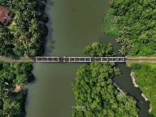
Gintota Bridge
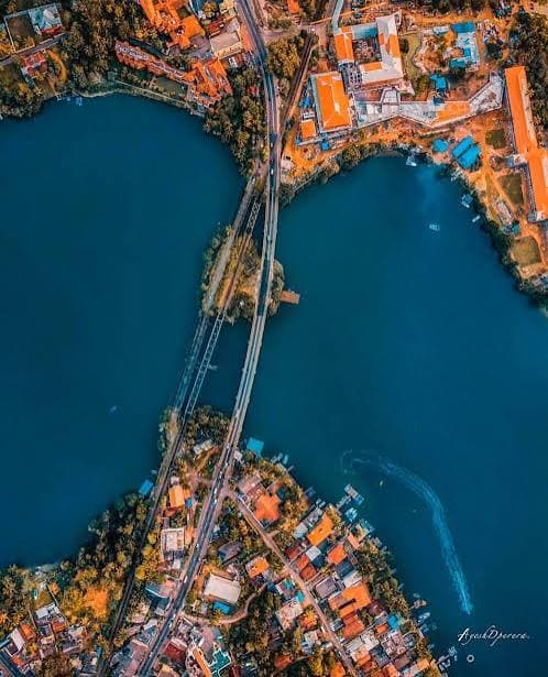
Bentota Bridge
More from Old Ceylon
Gaffoor’s Building: The Forgotten Jewel of Old Colombo That Once Stood at the Heart of Ceylon’s Trading Empire
When Prince Philip Visited Pedro Estate: The Royal Visit That Became Part of Ceylon Tea History in 1954